MIRZAM SPECTRUM
An Innovative Drone Service Provider

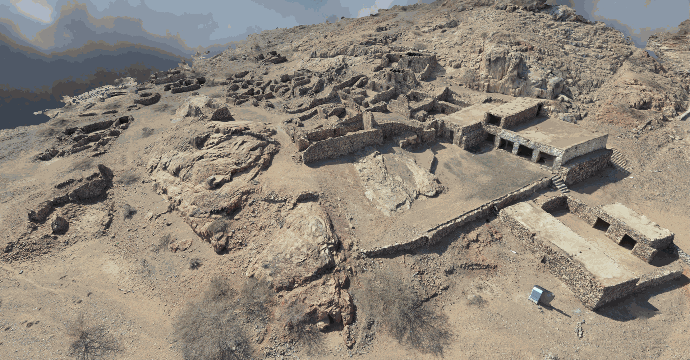
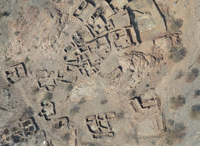
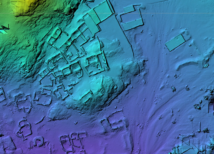
GIS and 3D Modeling
Helping surveyors and GIS professionals by greatly cutting costs and work hours of data capture. Scanning unreachable areas and deliver high-resolution aerial maps that would be otherwise impossible to produce in a safe or cost-effective way.

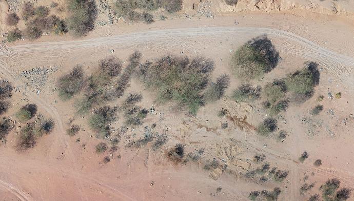
Agricultural Surveying
Using multispectral imagery to identify plants’ health problems early on. Our data can be used to prevent costly spread of diseases or invasive species. It can also provide valuable insights to boost yield productivity.

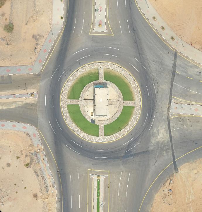
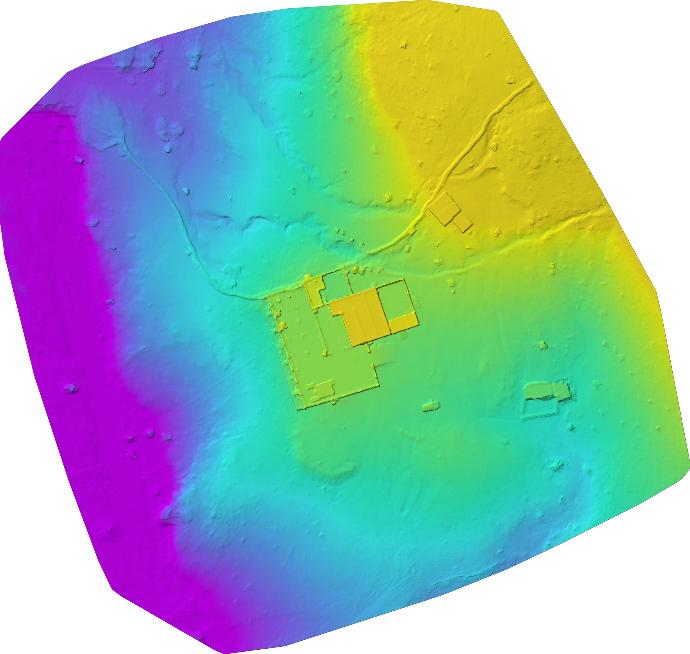
Corridor Scanning
Scanning urban and rural roads to assess development by providing DSM and DEM maps to assess road slopes to avoid the risk of flooding

Diverse Fleet
Whether the project size is big or small, our fleet consists of the most advanced Drones and Fixed Wings depending on the project requirements

Research and Innovation
Research is big part of our mission. We believe that we have the potential to lead in this emerging field. We simply thrive on innovation.

Nationwide Service
We are happy to extend our services across the Kingdom of Saudi Arabia
We offer nationwide drone photography services and provide professional consistency and reliability for your brand. Our scale is large enough to enable fast turnaround times and eliminate any and all travel fees or expenses that could otherwise be borne by clients. The expert drone operators within our network are vetted and proven, and are ready to take on any project you send our way.
We have the flexibility required to adapt our services for any project and provide a simple solution for getting quality results.
Contact us today and turn your project, product, or property into a compelling visual story in three easy steps.